Beaches and Bays of the Bodrum Peninsula
Sand or pebble, calm or windy, beach club or public shore: how the peninsula's coastline works, and how to pick the right bay for the day.
The Bodrum Peninsula has dozens of beaches, but they are not interchangeable. Which coast a bay faces decides how windy the afternoon will be, how warm the water feels and if the sun sets over the sea or behind a hill. This page explains how the coastline works, so you can choose a bay to suit the day instead of driving around hoping.
Three coasts, three characters
The summer wind here is the meltem, a dry northerly to north-westerly that usually builds from late morning and drops around sunset. It keeps July bearable, and it shapes almost every beach decision you will make.
The west coast runs from Gümüşlük down past Kadıkalesi to Turgutreis. It faces open water and the Greek islands, so this is sunset country. It also catches the wind: mornings are often glassy, while afternoons can turn choppy, especially in July and August.
The south coast, from Akyarlar and Karaincir through Bağla, Ortakent and Bitez towards Bodrum town, sits in the lee of the hills. The water tends to be calmer and the beaches longer, which is why families gravitate here. The breeze still finds its way in: the Fener headland near Akyarlar is the peninsula’s kitesurfing spot, and Bitez bay has steady afternoon wind that windsurf schools rely on.
The north coast (Yalıkavak, Gündoğan, Türkbükü, Gölköy, Torba) is a string of deep, green inlets. The shore is often narrow, so many places have built wooden jetties with loungers over the water. Inside the bays the sea can be almost flat; out on the points the meltem blows hard. The water here feels a degree or two cooler and drops off quickly.
Loading the map…
Sand or pebble?
Real sand is rarer than most visitors expect. The longest sandy stretch is around Ortakent and Yahşi, and Karaincir and Camel Beach (Kargı) near Bağla also have soft sand with a gentle slope that suits children. Many other beaches are a mix of coarse sand and fine shingle, and the north coast leans towards pebbles, rock shelves and swimming platforms.
Gümüşlük’s own beach is a long curve of sand and small shingle running south from the harbour. Pack a pair of water shoes wherever you go. Sea urchins cling to rocky entries all over the peninsula, and a cheap pair of shoes saves a lot of tweezers.
Gümüşlük’s shore and Rabbit Island
Gümüşlük sits on the remains of ancient Myndos, and parts of the old city lie in the shallows between the beach and Tavşan Adası, Rabbit Island. On calm days with low water you can wade across the submerged causeway, sometimes knee-deep, sometimes deeper. Conditions change with the wind, and because the area is a protected archaeological site, access to the island is occasionally restricted. Our guide to walking to Rabbit Island covers the details.
Local note: Anything you see under the water in Myndos, from pottery shards to worked stone, stays where it is. Removing antiquities is a criminal offence in Türkiye, and harbour officials do watch.
Beach clubs, public beaches and who owns the shore
In Türkiye the shoreline itself is public by law. A beach club can rent out loungers and umbrellas, but it is not supposed to stop you walking along the water’s edge or swimming in front of it. Most beaches have a stretch run by the municipality, signposted as a halk plajı (public beach), with showers and toilets and sometimes paid loungers.
Elsewhere you will meet two models. Some places charge a daily fee for a sunbed; others let you use one free if you order food and drink, sometimes with a minimum spend. Prices range from modest on the west and south coasts to genuinely expensive at the smarter clubs of Türkbükü and Yalıkavak. Ask before you settle in, and expect prices to change from one season to the next (true as of 2026).
When the sea is warm enough
The swimming season is longer than the beach-club season. Rough averages for sea temperature:
| Month | Sea, approx. | What it feels like |
|---|---|---|
| May | 19°C | Bracing, lovely after a walk |
| June | 22°C | Comfortable for most people |
| August | 25–26°C | Warmest; the meltem keeps it fresh |
| September | 24–25°C | Many locals’ favourite month |
| October | 22–23°C | Still very swimmable, beaches emptying |
| November | about 20°C | Short swims on sunny days |
From December to April the sea sits around 16–17°C. A few hardy residents swim right through winter; most people wait for May. The sunniest, calmest swims often come in September and early October, when the wind softens and the crowds thin out.
Snorkelling and what lies beneath
The best snorkelling is off rocky points rather than sandy beaches: think of the headlands either side of Gümüşlük, the coves towards Kadıkalesi and the rocky edges of the north-coast bays. Expect bream, wrasse, damselfish, the occasional octopus and swaying meadows of seagrass. Visibility is usually best in the morning, before the wind stirs things up.
Boats come close to shore in summer, so stay inside buoyed swimming areas where they exist, and tow a bright float if you head along the coast. Scuba diving is restricted in some zones because of wrecks and archaeology; go with a licensed dive centre rather than exploring alone.
Beach etiquette
- Swimwear is for the beach. Put a shirt or a dress on before walking into the village, a shop or a restaurant.
- Topless sunbathing is not customary on Turkish beaches, even if you occasionally see it at clubs.
- Keep music to yourself, and take your rubbish home; bins at small coves fill quickly in August.
- Do not reserve loungers with a towel at dawn and disappear. It is frowned upon here as anywhere.
- Fires and barbecues on beaches are banned in summer because of the very real wildfire risk.
Tip: On a windy afternoon, cross the peninsula. If the meltem is whipping up Gümüşlük, the south coast around Bağla or Ortakent is often calm, and the drive is about 20 to 30 minutes.
From the journal
For specific recommendations, start with the best beaches and bays near Gümüşlük, then pick an evening spot from our sunset guide. If you would rather reach the quieter coves by sea, read how to choose a boat trip.
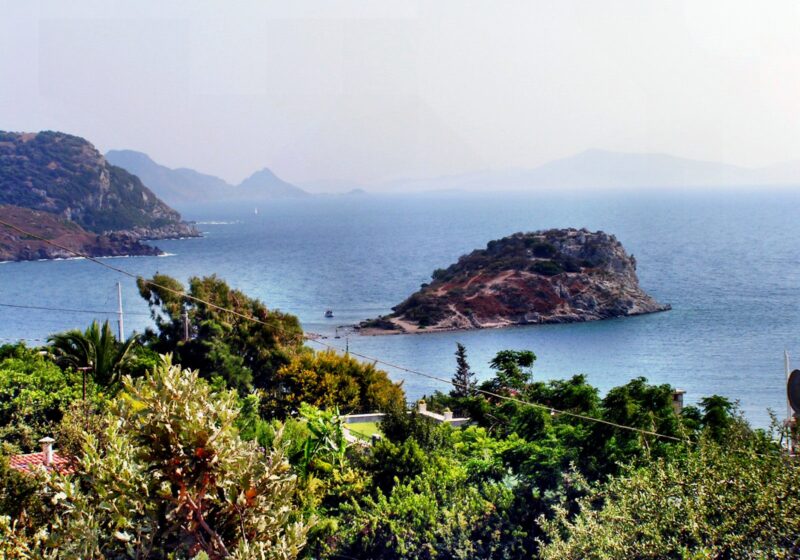
Walking to Rabbit Island (Tavşan Adası) Across the Shallow Water
A short wade over ancient stones to a protected island at the mouth of Gümüşlük bay. How the crossing works, when to…
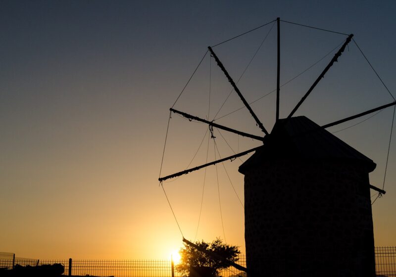
The Best Sunset Spots on the Bodrum Peninsula
Waterfront tables, a hilltop village, windmills and a castle ruin: where to watch the sun go down on the Bodrum Peninsula, season…
The Best Beaches and Bays Near Gümüşlük
From the village beach to the sandy bays of the south coast: where to swim near Gümüşlük, which beaches are sandy, and…