Walking to Rabbit Island (Tavşan Adası) Across the Shallow Water
A short wade over ancient stones to a protected island at the mouth of Gümüşlük bay. How the crossing works, when to go and what the rules are.
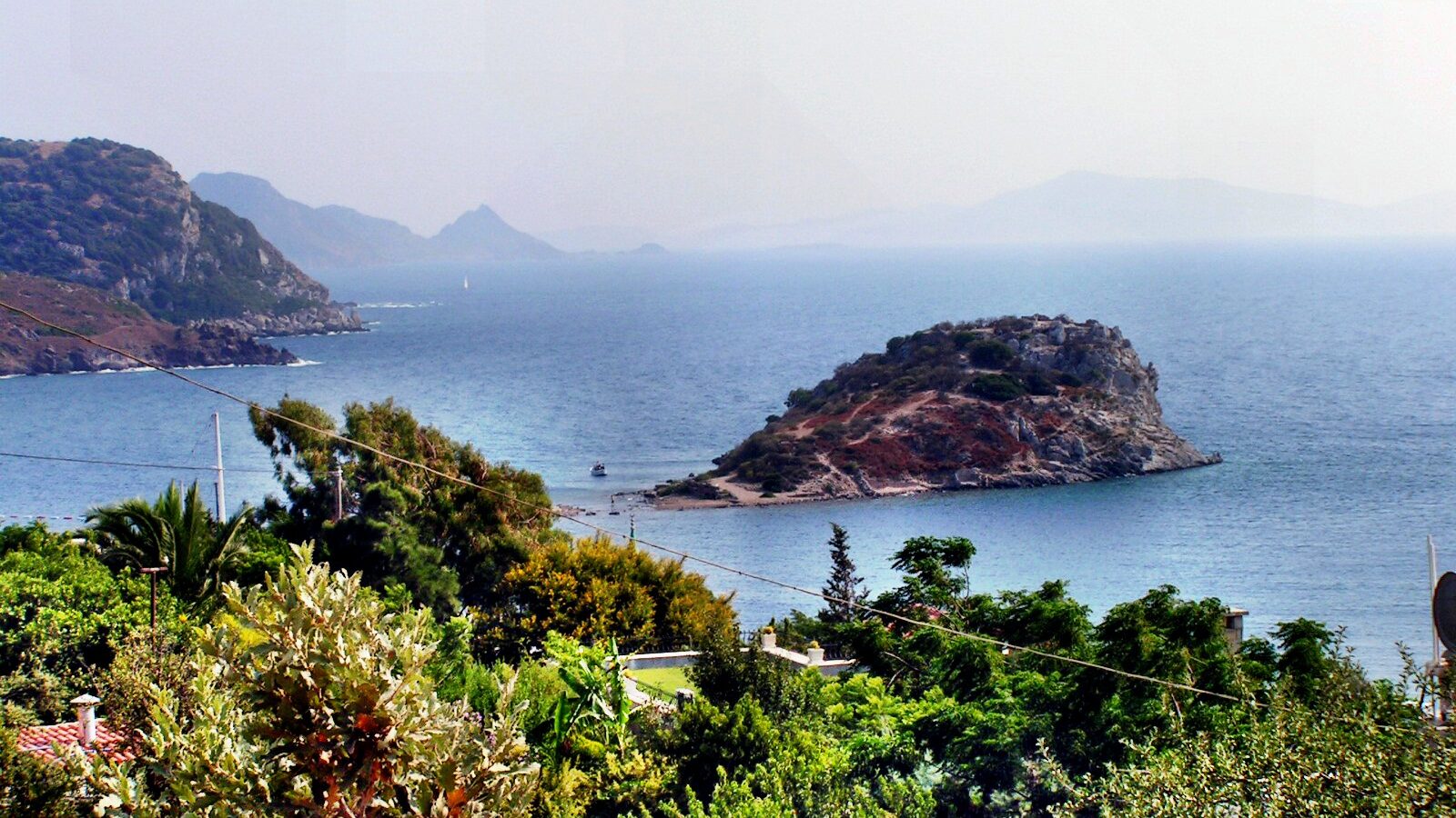
At the southern end of Gümüşlük’s waterfront, a low, scrubby island sits so close to the shore that people walk out to it through the sea. This is Tavşan Adası, Rabbit Island. The walk takes a few minutes, the water is usually no deeper than your knees, and under your feet are the remains of a city that was here more than two thousand years before the fish restaurants.
What Rabbit Island is
The island guarded the harbour of ancient Myndos, the city on which Gümüşlük is built. In archaeological papers it often appears as Asar Adası. Its strip of shallow water is not a natural sandbar alone: stretches of the city’s 4th-century BC walls run out from the shore towards the island, and when the sea is low you can see the line of old stonework that locals call the Kral Yolu, the King’s Road.
Excavations led by Bursa’s Uludağ University have uncovered a great deal on the island. Finds include the remains of a church with graves around it, column fragments from an earlier temple, and an inscription dedicated to Apollo Archegetes that points to a sanctuary of Apollo on the upper terraces. In 2010 the team found a group of skulls with nails driven through them, which the excavation director dated to the 3rd century AD and interpreted as victims of Roman-era persecution. They were taken into the care of the Museum of Underwater Archaeology in Bodrum.
As for the rabbits, there are said to be a few left. You are more likely to see lizards, gulls and the odd cat. For the bigger picture of the ancient city, read our piece on Myndos.
Can you go onto the island?
This is the question everyone asks, and the honest answer is that it depends on when you are there. Because the island is an active archaeological site under legal protection, it has spent long periods closed or fenced off. Reports over the years describe everything from a complete ban during excavation seasons, to the island being opened for a period with visitors kept to fenced paths, to wire fencing that blocks most of the interior.
Rules can change from one season to the next, and we could not confirm the current arrangement for 2026. Treat the signs and fences at the island as the final word. If an area is fenced, it is closed: do not climb over, and do not walk around the fence line through the water to get in, however many others are doing it. The crossing itself, out to the island’s edge and back, is the part most visitors come for anyway.
Good to know: Tavşan Adası and the sea around it are a protected archaeological site under Turkish law. Removing anything, even a loose fragment of pottery or a worked stone from the shallows, is a criminal offence. Look, photograph, leave it where it is.
How the crossing works
The walk starts at the southern end of the harbour, where the waterfront restaurants give way to the beach. From there the island is roughly 150 metres away. You will see the line of the crossing easily: a paler, shallower strip of water where the old stones lie just below the surface.
On most days the water is somewhere between ankle- and knee-deep, sometimes a little more in places. The footing is the main challenge. The stones are uneven and can be slippery with weed, there are gaps between them, and sea urchins like the rocky patches.
The Aegean has almost no tide to speak of, so there is no tide table to check. What changes the depth is wind and air pressure. After a spell of strong northerly winds and high pressure, especially in late winter and early spring, the sea can drop noticeably and the old road and walls emerge almost completely. These low-water days have made the Turkish news several times in recent years, usually in February or March. On other days, without that push from the wind, expect the deepest points to be a little higher up your legs.
When to go
Early morning is the best time. The water is usually calmest before the afternoon wind picks up, the light is clear enough to see the stones, and you will have the crossing more or less to yourself. In July and August late afternoon brings a stream of people who walk out before dinner.
Autumn is especially good, with warm water, softer light and fewer people. If you go in late winter or spring, you have the best chance of seeing the old road exposed, though the water will be cold on your legs. See our piece on autumn in Gümüşlük for more on the best months.
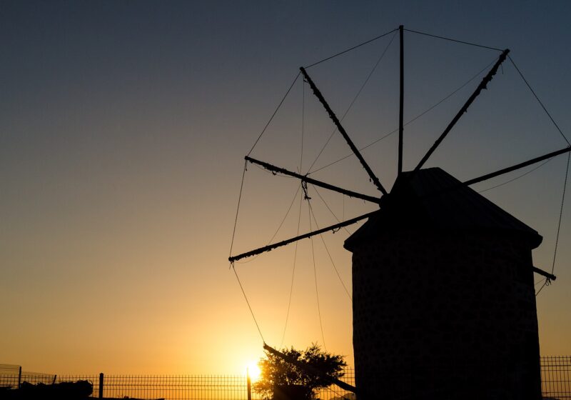
Many people time the walk back for sunset, when the island turns into a dark outline against the sky. If you do, leave enough light to see your footing on the return.
Sunset in Gümüşlük today 18:29
What to bring and how to walk it safely
- Water shoes are the single most useful thing. Bare feet on weedy stones and urchins is a bad combination; flip-flops come off.
- Something to keep your phone dry. People drop phones here every summer. A small dry bag or a zip-lock pouch is enough.
- Hold small children’s hands, or carry them. The stones shift and there are deeper pockets.
- Go slowly and test each step. Look at the stones ahead rather than the island.
- Avoid it in a strong wind. Waves across the crossing make it hard to see where you are putting your feet.
If you want to swim instead, the water on either side of the crossing is shallow and good for snorkelling over the scattered stones of the ancient harbour. Look, but do not touch or move anything.
Before you go
- The crossing is free and there are no set hours, but access to the island itself depends on the current rules. Read the signs.
- There is no shade, water or toilet on the island. Bring what you need and take everything back.
- Parking near the harbour fills up in summer; arrive early or walk in. For how to spend the rest of the day here, try our slow day in Gümüşlük.
- Combine the walk with dinner on the waterfront afterwards. Our guide to eating on the Gümüşlük waterfront explains how it works.